Wujal Wujal Aboriginal Shire Council
- Shanti Bants
- Jan 8, 2025
- 1 min read
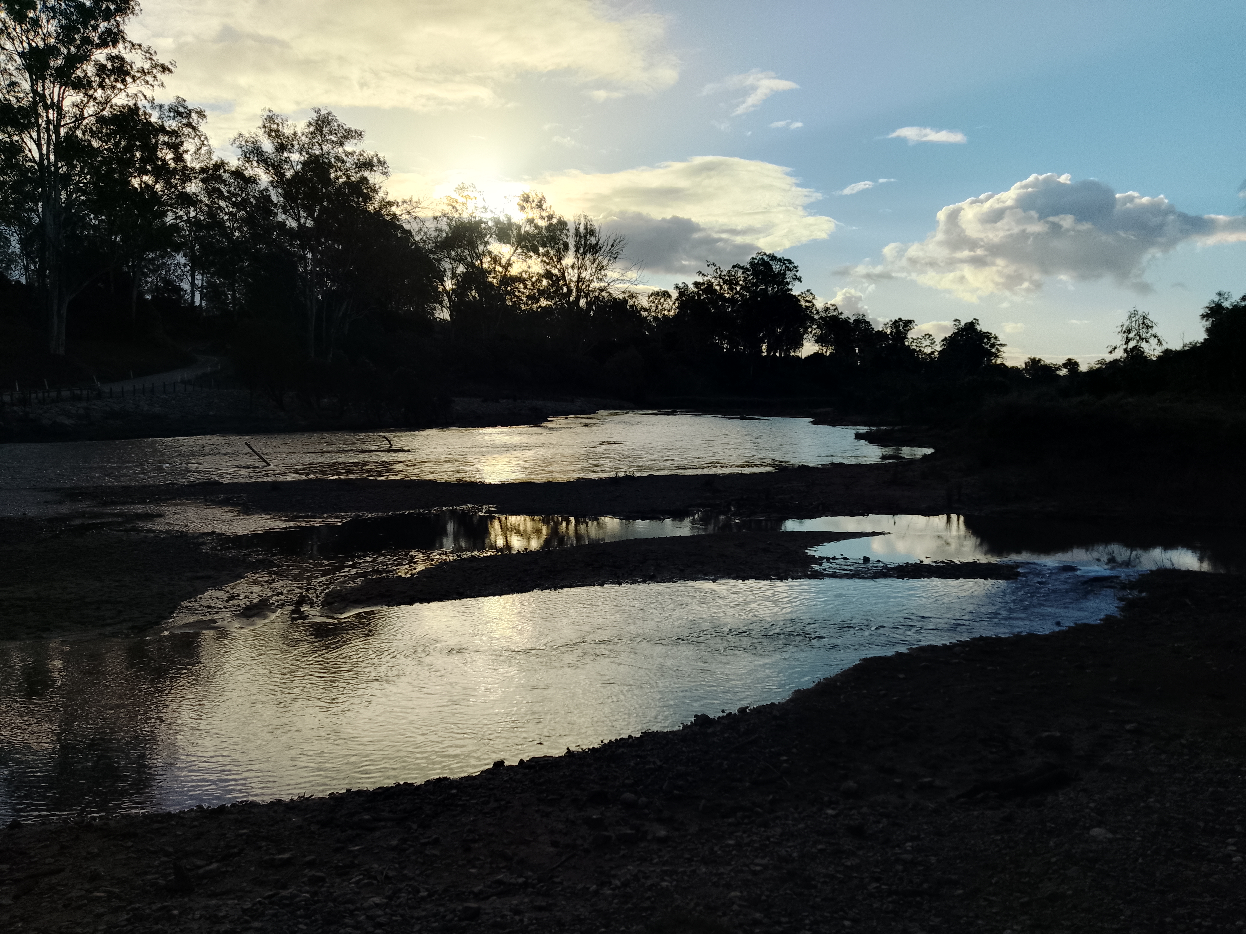
The Wujal Wujal community is in the Cape York region on the banks of the Bloomfield River surrounded by high mountains, waterfalls, river tributaries and creeks. The area’s boundaries are the Cook Shire to the north and Douglas Shire to the south. We are located about 4 hours north of Cairns or 1 hour south of Cooktown by road.

Wujal Wujal Aboriginal Shire Council Information
Region: Far North Queensland
Bio Region: WET09
Eco Region: AA0117
Country: Australia
State: Queensland (QLD)
Coordinates: -15.9683° S, 145.3129° E
Latitude: -15.9683354465335
Longitude: 145.31293545185673
Area (km2): 3579.32359
Street:
Town/City: Cooktown
State: QLD
Postcode: 4895
PO Box:
Phone: (07) 4083 9100
Disaster Dashboard: https://wujalwujalcouncil.qld.gov.au/disaster-management/disaster-plan/
Species
References
Wikipedia contributors. (2025, May 14). Wujal Wujal. In Wikipedia, The Free Encyclopedia. Retrieved 06:39, May 23, 2025, from https://en.wikipedia.org/w/index.php?title=Wujal_Wujal&oldid=1290331861
Wikipedia contributors. (2025, May 21). Bloomfield Falls. In Wikipedia, The Free Encyclopedia. Retrieved 06:40, May 23, 2025, from https://en.wikipedia.org/w/index.php?title=Bloomfield_Falls&oldid=1291474218
Wujal Wujal Aboriginal Shire Council (2025). Wujal Wujal Aboriginal Shire Council. Retrieved from https://wujalwujalcouncil.qld.gov.au/


link link link link link link link link link link link link link link link link link link link link link link link link link link link link link link link link link link link link link link link link link link link link link link link link link link link link link link link link link link link link link link link link link link link link link link link link link link link link link link link link link link link link link link link link link link link link link link link link link link link link link link link link link link link link link link link link link link