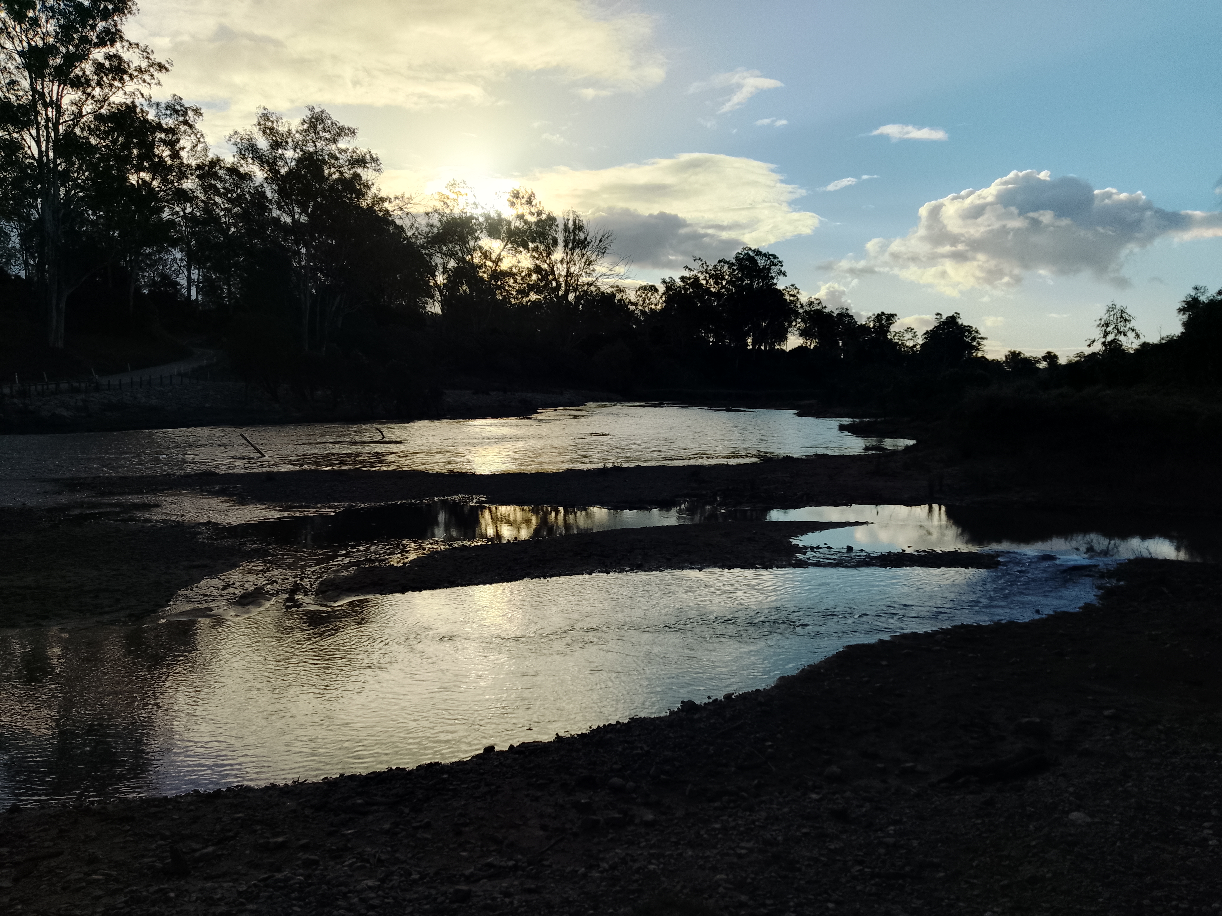
Marlborough Plains (BBN14)
- Shanti Bants
- Jan 20, 2025
- 3 min read
Updated: Jun 13, 2025
RegionSize(km2): 1,250,611
States: Queensland (QLD)
Latitude:
Longitude:
Climate Zone(s): Subtropical, Tropical
Towns: Bogantungan, Craven, Cremorne, Drummond, Ducabrook, Dunstable, Echo Hills, Glenlee, Joe Joe, Medway, Nandowrie, Narounyah, Narrien, New Banchory, Old Banchory, Pioneer, Portwine Creek, Riverside, Rutland, Sprinvale, Willows, Willows Gemfield, Withersfield
Local Government Areas (LGA): Barcaldine, Central Highlands, Isaac
Marlborough Plains (BBN14) IBRA subregion land use
ALUMC code and description | Area (ha) | % total area |
Total | 1,245,296 | 99.6% |
Grazing native vegetation | 769,036 | 61.5% |
Other minimal use | 169,060 | 13.5% |
Marsh/wetland | 151,839 | 12.1% |
Production native forests | 43,222 | 3.5% |
Nature conservation | 33,492 | 2.7% |
Residential and farm infrastructure | 23,956 | 1.9% |
River | 12,257 | 1.0% |
Reservoir/dam | 6,388 | 0.5% |
Plantation forests | 5,991 | 0.5% |
Managed resource protection | 5,234 | 0.4% |
Cropping | 4,879 | 0.4% |
Services | 3,896 | 0.3% |
Transport and communication | 3,865 | 0.3% |
Irrigated cropping | 2,870 | 0.2% |
Irrigated perennial horticulture | 2,062 | 0.2% |
Lake | 1,735 | 0.1% |
Mining | 1,336 | 0.1% |
Grazing modified pastures | 841 | 0.1% |
Manufacturing and industrial | 813 | 0.1% |
Utilities | 629 | 0.1% |
Irrigated plantation forests | 571 | 0.0% |
Irrigated seasonal horticulture | 531 | 0.0% |
Grazing irrigated modified pastures | 243 | 0.0% |
Intensive animal production | 178 | 0.0% |
Waste treatment and disposal | 172 | 0.0% |
Irrigated land in transition | 93 | 0.0% |
Land in transition | 50 | 0.0% |
Intensive horticulture | 41 | 0.0% |
Perennial horticulture | 16 | 0.0% |
Estuary/coastal waters | < 1 | 0.0% |
Find area information for locating resources within the Marlborough Plains (BBN14) Bio Region.
Drainage
Drainage Divisions
North East Coast
Drainage Basins
Coral Sea
Fitzroy
Shoalwater
Styx
Waterpark
Drainage sub-basins
Fitzroy River
Shoalwater
Styx River
Waterpark Creek
Nationally Important Wetlands
Shoalwater and Corio Bays Area
Broad Sound
Corio Bay Wetlands
Fitzroy River Delta
Fitzroy River Floodplain
Great Barrier Reef Marine Park
Hedlow Wetlands
Port Curtis
Shoalwater Bay
Shoalwater Bay Training Area Overview C
The Narrows
Yeppoon - Keppel Sands Tidal Wetlands
National Parks
Baga National Park
Broad Sound Islands National Park
Capricorn Coast National Park
Keppel Bay Islands National Park
Keppel Bay Islands National Park (Scientific)
Mount Archer National Park
Mount Etna Caves National Park
Mount O'Connell National Park
Rundle Range National Park
Marine parks (Queensland):
Great Barrier Reef Coast Marine Park
Conservation parks:
Bukkulla Conservation Park
Causeway Lake Conservation Park
Charon Point Conservation Park
Keppel Sands Conservation Park
Limestone Creek Conservation Park
Long Island Bend Conservation Park
MacKenzie Island Conservation Park
Newport Conservation Park
North Pointer Conservation Park
Princhester Conservation Park
Shoalwater Bay Conservation Park
Tooloombah Creek Conservation Park
State forests
Alligator Creek State Forest
Aricia State Forest
Byfield State Forest
Canal Creek State Forest
Eugene State Forest
Glencoe State Forest
Lake Learmouth State Forest
Marlborough State Forest
Mount Archer State Forest
Mount Larcom State Forest
Rundle State Forest
Scrubby Mountain State Forest
Targinie State Forest
Ulam Range State Forest
Werribee Creek State Forest
Resource Reserves
Bouldercombe Gorge Resources Reserve
Flat Top Range Resources Reserve
Rundle Range Resources Reserve
Fish habitat areas
Broad Sound
Cawarral Creek
Fitzroy River (Rev.1)
Nature refuges
Alectura Nature Refuge
Archontophoenix Grove Nature Refuge
Boyles Ridge Nature Refuge
Develin Nature Refuge
Melomys Nature Refuge
Paddy's Lagoon Nature Refuge
Pindari Nature Refuge
Rockhampton Pistol Club Nature Refuge
Trigona Nature Refuge
World Heritage areas
Great Barrier Reef
Local Species Information
search local species and follow the link to get more specific profile information
Coming Soon!
Animals
Plants
Fungi
Protists
Bacteria
References
Department of Environment, Science and Innovation, Queensland (2013) Marlborough Plains IBRA subregion — facts and maps, WetlandInfo website, accessed 13 June 2025. Available at: https://wetlandinfo.des.qld.gov.au/wetlands/facts-maps/ibra-subregion-marlborough-plains/
Department of Environment, Science and Innovation, Queensland (2013) Wildlife of Marlborough Plains IBRA subregion, WetlandInfo website, accessed 13 June 2025. Available at: https://wetlandinfo.des.qld.gov.au/wetlands/facts-maps/wildlife/?AreaID=ibra-subregion-marlborough-plains


Comments