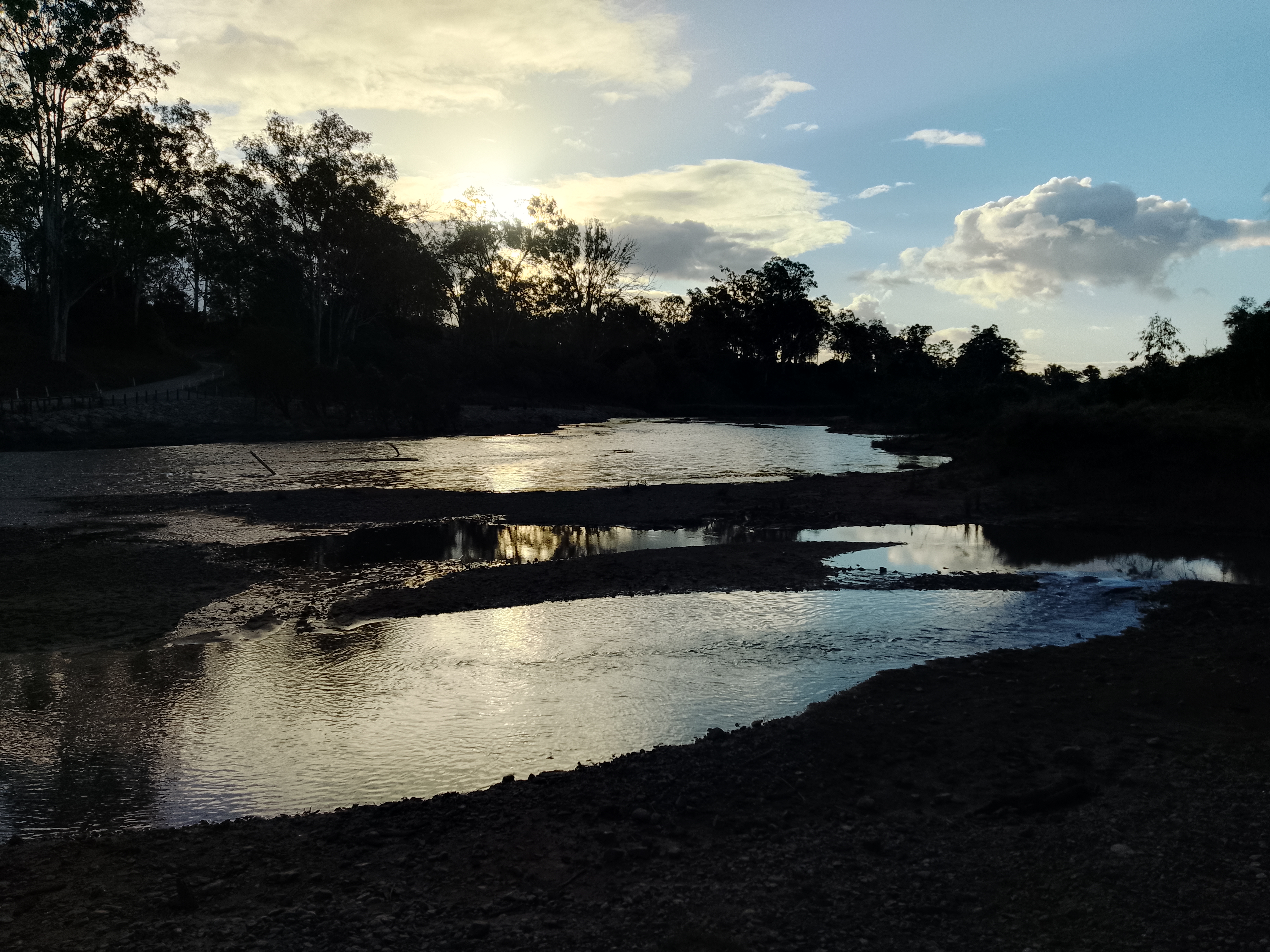
Claude River Downs (BBS01)
- Shanti Bants
- Jan 22, 2025
- 1 min read
Updated: Jun 13, 2025
RegionSize(km2): 1,026,214
States: Queensland (QLD)
Latitude:
Longitude:
Climate Zone(s): Grassland, Subtropical
Towns: Alpha, Buckland Plains, Castlevale, Cheshire, Cungelella, Fairveiw, Glen Avon, Hillview, Kareela, Kurrajong, Mantuan Downs, Tanderra, Tumbar, Wealwandangie, Wharton Creek
Local Government Area (LGA): Barcaldine, Blackall-Tambo, Central Highlands
Claude River Downs (BBS01) IBRA subregion land use
ALUMC code and description | Area (ha) | % total area |
Total | 1,026,214 | 100.0% |
Grazing native vegetation | 813,355 | 79.3% |
Managed resource protection | 92,820 | 9.0% |
Other minimal use | 49,729 | 4.8% |
Nature conservation | 38,416 | 3.7% |
Production native forests | 16,344 | 1.6% |
Cropping | 8,023 | 0.8% |
Marsh/wetland | 4,699 | 0.5% |
Reservoir/dam | 1,043 | 0.1% |
Grazing modified pastures | 872 | 0.1% |
Residential and farm infrastructure | 396 | 0.0% |
Irrigated cropping | 181 | 0.0% |
Lake | 155 | 0.0% |
Intensive animal production | 55 | 0.0% |
Grazing irrigated modified pastures | 53 | 0.0% |
Mining | 51 | 0.0% |
Transport and communication | 23 | 0.0% |
Find areas for Australian Bio Region Claude River Downs (BBS01) resources
Drainage
Drainage Divisions
Lake Eyre
North East Coast
Drainage Basins
Burdekin
Cooper Creek
Fitzroy
Drainage sub-basins
Barcoo River
Nogoa River
Suttor River
Nationally Important Wetlands
none
National Parks
Carnarvon National Park
State forests
Nandowrie State Forest
Squire State Forest
Resource Reserves
none
Fish habitat areas
none
Nature refuges
Castlevale Nature Refuge
Rainmore Nature Refuge
Yarrai Nature Refuge
Local Species Information
search local species and follow the link to get more specific profile information
Coming Soon!
Animals
Plants
Fungi
Protists
Bacteria
References
Department of Environment, Science and Innovation, Queensland (2013) Claude River Downs IBRA subregion — facts and maps, WetlandInfo website, accessed 13 June 2025. Available at: https://wetlandinfo.des.qld.gov.au/wetlands/facts-maps/ibra-subregion-claude-river-downs/
Department of Environment, Science and Innovation, Queensland (2013) Wildlife of Claude River Downs IBRA subregion, WetlandInfo website, accessed 13 June 2025. Available at: https://wetlandinfo.des.qld.gov.au/wetlands/facts-maps/wildlife/?AreaID=ibra-subregion-claude-river-downs

Comments